-
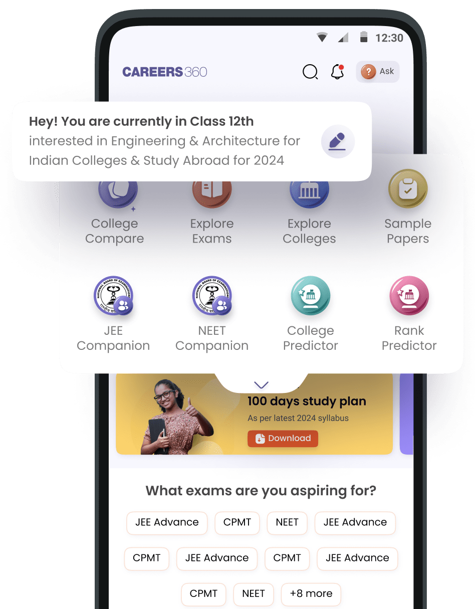
Engineering and Architecture
Exams
Colleges
Predictors
Resources
Quick links
- BTech
- Mechanical Engineering
- Civil Engineering
- Aeronautical Engineering
- Information Technology
- Electronic Engineering
Download App

Scan and Download the App!
-
Management and Business Administration
Exams
Colleges & Courses
Predictors
Resources
- Top MBA Entrance Exams in India
- CMAT Result 2026
- TS ICET Application Form 2026
- AP ICET Application Form 2026
- Download Helpful Ebooks
- List of Popular Branches
- QnA - Get answers to your doubts
- IIM Fees Structure
Download App
Scan and Download the App!
-
Law
Colleges
Predictors & E-Books
Resources
- Compare Law Collages
- QnA - Get answers to your doubts
- Careers360 Youtube Channel
- CLAT Syllabus
- Free CLAT Practice Test
Download App
Scan and Download the App!
-
Learn
Engineering Preparation
Medical Preparation
Law Preparation
MBA Preparation
Download App
Scan and Download the App!
-
Media, Mass Communication and Journalism
Colleges
Resources
- Free Ebooks
- Free Sample Papers
- List of Popular Branches
- QnA - Get answers to your doubts
- Careers360 Youtube Channel
Download App
Scan and Download the App!
-
Animation and Design
Exams
Colleges
Predictors & Articles
Resources
- NIFT Cutoff 2026
- NID Cutoff 2026
- NIFT Fees Structure
- Free Design Sample Papers
- Free Design E-books
- List of Branches
- QnA - Get answers to your doubts
- Careers360 Youtube channel
Download App
Scan and Download the App!
-
Medicine and Allied Sciences
Colleges
Predictors
Resources
- NEET Syllabus 2026
- NEET Exam Date 2026
- NEET Cut off
- NEET Counselling 2025
- Download Helpful E-books
- QnA - Get answers to your doubts
Download App
Scan and Download the App!
-
Arts, Commerce & Sciences
Colleges
Upcoming Events
Resources
- E-Books and Sample Papers
- CUET College Predictor
- IIT JAM Exam Dates 2026
- CUET PG Cut Off
- IGNOU Exam Form
- CUET Syllabus
- CUET Counselling
Download App
Scan and Download the App!
-
Computer Application and IT
Colleges
Quick Links
- MCA
- BCA
- Information Technology Courses
- Programming Courses
- Web Development Courses
- Data Analytics Courses
- Big Data Analytics Courses
Download App
Scan and Download the App!
-
Online Courses and Certifications
Top Streams
Specializations
- Digital Marketing Certification Courses
- Cyber Security Certification Courses
- Artificial Intelligence Certification Courses
- Business Analytics Certification Courses
- Data Science Certification Courses
- Cloud Computing Certification Courses
- Machine Learning Certification Courses
- View All Certification Courses
Resources
Top Providers
- Coursera Courses
- Udemy Courses
- Edx Courses
- Swayam Courses
- upGrad Courses
- Simplilearn Courses
- Great Learning Courses
- View All
Download App
Scan and Download the App!
-
Hospitality and Tourism
Colleges
Resources
-
Pharmacy
Colleges
Resources
- GPAT Result
- GPAT Admit Card
- GPAT Question Papers
- B. Pharma
- M. Pharma
- Free Ebooks
- Free Sample Papers
- Careers360 Youtube Channel
Download App
Scan and Download the App!
-
Finance & Accounts
Resources
Top Courses & Careers
Colleges
- Top Commerce Colleges in India
- Top Government Commerce Colleges in India
- Top Private Commerce Colleges in India
- Top M.Com Colleges in Mumbai
- Top B.Com Colleges in India
Download App
Scan and Download the App!
-
Competition
Upcoming Events
Resources
Other Exams
- TNPSC Group 4 Exam
- UPSC CMS Exam
- UPSC IFS Exam
- UGC NET Exam
- RRB NTPC Exam
- IBPS PO Exam
- IBPS Clerk Exam
- SSC GD Constable Exam
Download App
Scan and Download the App!
-
Study Abroad
Colleges
Top Countries
Resources
- Student Visa Canada
- Student Visa UK
- Student Visa USA
- Download E-books and Sample Papers
- Free Exam Sample Papers
- IELTS Reading Practice E-book
- IELTS 2025 Writing Task 1 & Task 2
- Know All About Education Loan
Download App
Scan and Download the App!
-
School
Exams
Top Schools
Products & Resources
NCERT Study Material
- NCERT Notes
- NCERT Books
- NCERT Syllabus
- NCERT Solutions
- NCERT Solutions for Class 12
- NCERT Solutions for Class 11
- NCERT solutions for Class 10
Download App
Scan and Download the App!

Share this via
- Telegram
- Online Courses and Certifications
-
Course by Category

-
Course by Specialization
-
Course by Provider
- Design Certification Courses
- Marketing Certification Courses
- Humanities Certification Courses
- Languages Certification Courses
- finance and accounting Certification Courses
- Personal Development Certification Courses
- It & Software Certification Courses
- Social Science Certification Courses
- Business and Management Certification Courses
- Programming & Development Certification Courses
- Data Science Certification Courses
- Digital Marketing Certification Courses
- Data Analysis Certification Courses
- Fashion Design Certification Courses
- Graphic Designing Certification Courses
- Cyber Security Certification Courses
- Interior Design Certification Courses
- Business Analytics Certification Courses
- Artificial Intelligence Certification Courses
- Tally Certification Courses
- Popular Courses From Top Providers
-
Coursera Courses
-
Swayam Courses
-
Edx Courses
-
Upgrad Courses
- Coursera Data Science Courses
- Coursera Software Development Courses
- Coursera Machine Learning Courses
- Coursera Artificial Intelligence Courses
- Coursera Cyber Security Courses
- Coursera Information Technology Courses
- Coursera Web Designing Courses
- Coursera Web Development Courses
- Swayam Mechanical Engineering Courses
- Swayam Computer Science Courses
- Swayam Data Analysis Courses
- Swayam Cyber Security Courses
- Swayam Business Analytics Courses
- Swayam Database Management Courses
- Swayam Artificial Intelligence Courses
- Swayam Robotics Engineering Courses
- Online Degree and Diploma Courses
-
Online UG Degree Courses
-
Online PG Degree Courses
-
Diploma Courses
- Free Online Courses
-
Free Courses by Branch
-
Free Courses by Provider
- Course Types
-
Resources
-
Bootcamps
-
Courses By Job Roles
-
 Others
- Home
- Online Courses and Certifications
- Online Geosciences And Remote Sensing Courses
19 Courses and Certifications
 Share
Share facebook
 Whatsapp
 twitter
Articles
Popular Articles


Latest Articles
| particular | details |
|---|---|
Compare Courses
You cannot compare more than 4 courses at a
time, please remove one course
to add another one
You can add upto 4 Courses.
Download Brochure

Thank You!
Brochure has been downloaded.
Trending Courses
Digital Marketing Courses
Fashion Design Courses
Data Science Courses
Interior Design Courses
Graphic Designing Courses
Cyber Security Courses
Nursing Courses
Tally Courses
Data Analysis Courses
Web Designing Courses
Artificial Intelligence Courses
Ethical Hacking Courses
Free Digital Marketing Courses And certifications
Free Artificial Intelligence Courses And Certifications
Free Data Analysis Courses And Certifications
Free Cyber Security Courses And Certifications
Free Data Science Courses And Certifications
Free Cloud Computing Courses And Certifications
Free Python Courses And Certifications
Free Fashion And Textiles Courses And Certifications
Free Graphic Designing Courses And Certifications
Free Web Designing Courses And Certifications
Popular Courses
General Management Courses
Public Health Courses
Teaching and Education Courses
Financial Management Courses
Web Development Courses
Mathematics Courses
Data Science Courses
Programming Courses
Cyber Security Courses
Digital Marketing Courses
Law Courses
Mechanical Engineering Courses
Explore all courses
Popular Platforms
upGrad Courses
Udemy Courses
Swayam Courses
Edx Courses
Coursera Courses
NPTEL Courses
Futurelearn Courses
Mindmajix Technologies Courses
Vskills Courses
IIT Kharagpur Courses
IIT Kanpur Courses
Emeritus Courses
Explore all platforms
Learn more about the Courses
10 Reasons to Enrol Yourself in a Digital Marketing Course
8 Must-Have Skills for AWS Cloud Architects
Planning to Upskill Yourself? Enrol for a Program in Data Science
25+ Tips for Improving Your Graphic Design Skills
Top Universities in India Offering Cyber Security Courses
15+ Courses for Learning Data Mining
How to Make a Career in the Field of Artificial Intelligence
Top 10 Benefits Of Holding A Certification In Business Intelligence
Which are the best certification courses for Photography in India
A Beginner's Guide to Pursue Python Programming
Want to Pursue a Career in Blockchain Technology? Here is all that you need to Know
How Entrepreneurs Can Use Machine Learning to Make their Business Successful?
The Scope of Artificial Intelligence in India
Top 10 Online Courses for Travel Lovers
10 Best Certification Courses After Hospital and Healthcare Management
Compare Colleges
You cannot compare more than 4 colleges at a time, please remove one college
to add another one
You can add upto 4 colleges.
Indian Institute of Management Bangalore
Indian Institute of Management Ahmedabad